Works with current website version ![]() and last Kurviger3 Beta App
and last Kurviger3 Beta App ![]() .
.
Works with following versions:
GalamusDescLinkText.gpx
GalamusDescLink.gpx
GalamusLink.gpx
To be compatible with
https://www.topografix.com/GPX/1/1/#type_wptType
I decided to use minimized link embedding ( <text> tag seems to be ignored by Kurviger )
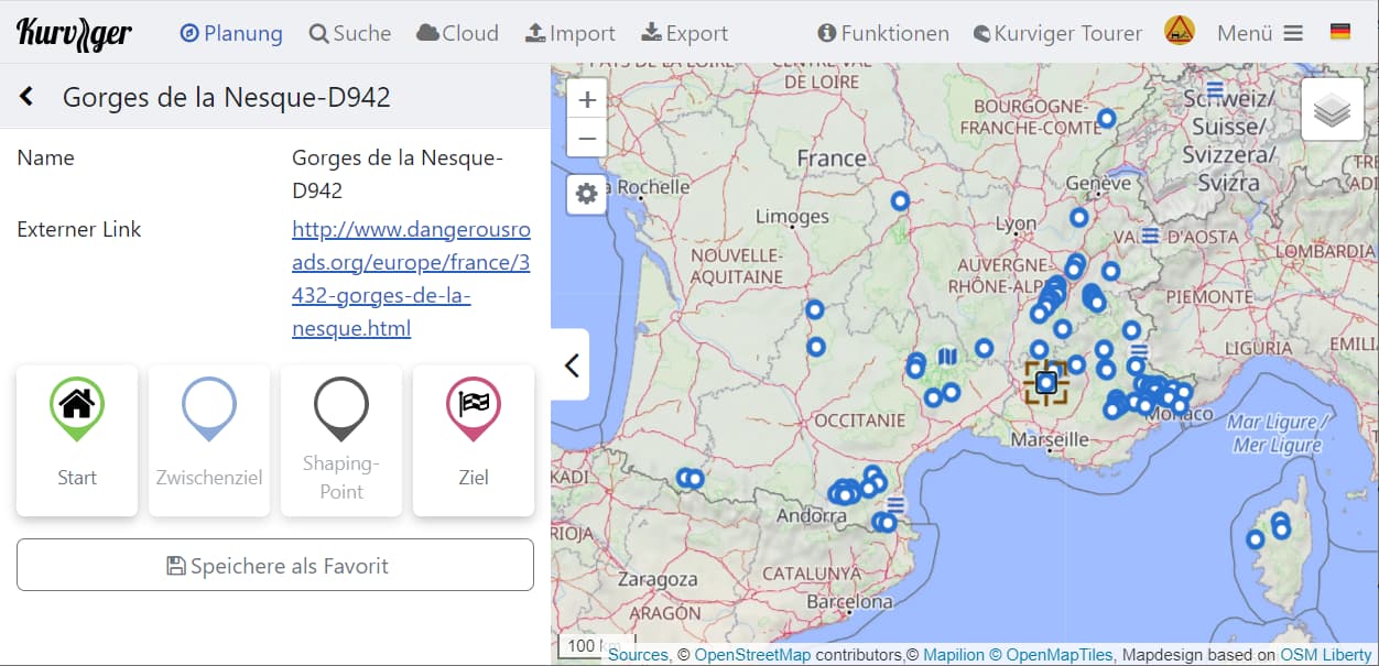
  <wpt lat="42.83803" lon="2.48086">
    <name>Gorges de Galamus</name>
    <link href="http://www.dangerousroads.org/europe/france/2111-gorges-de-galamus.html"/>
  </wpt>
So if I export the KMZ from the Google Maps map in
and convert it to GPX for Kurviger, I get
French balcony roads V0.gpx (14,3 KB)
Edit2: Upload file again due to permission from dangerousroads.org
Importing that GPX as overlay, you can use it for planning Kurviger routes and get more information by clicking on links:
@moderators : I put copyright remarks and links to dangerousroads.org in the GPX - if you think that nevertheless it is not allowed to provide that GPX here, please give feedback or remove it immediately.
In that case I can think about providing a converter - then everyone has to extrakt the KMZ from dangerousroads.org himself and put it in the converter.
Perhaps I should provide that GPX in an an other thread (in “Nice routes - reports and recommendations”) - if yes, please give feedback, then I will create it.
Perhaps in the future it might be a benefit for Kurviger to embed points from dangerousroads.org as Kurviger POIs … there are also a lot of interesting POIs wordwide, I put them all in one GPX (more than 7000 POIs), but that breaks down performance of Kurviger in browser, I am thinking about breaking that down into regions …