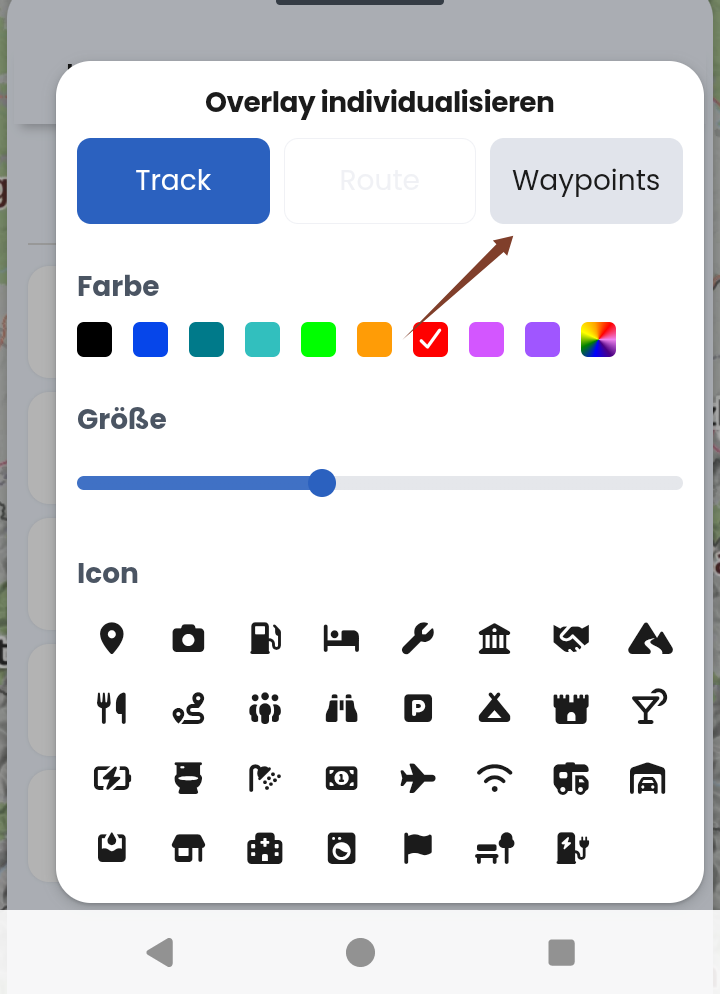
You can add this gpx-file as an overlay. Then the borders are better visible. Download to your phone or PC, then add.
Borders_Poland.gpx (2.7 MB)
Looks like this:
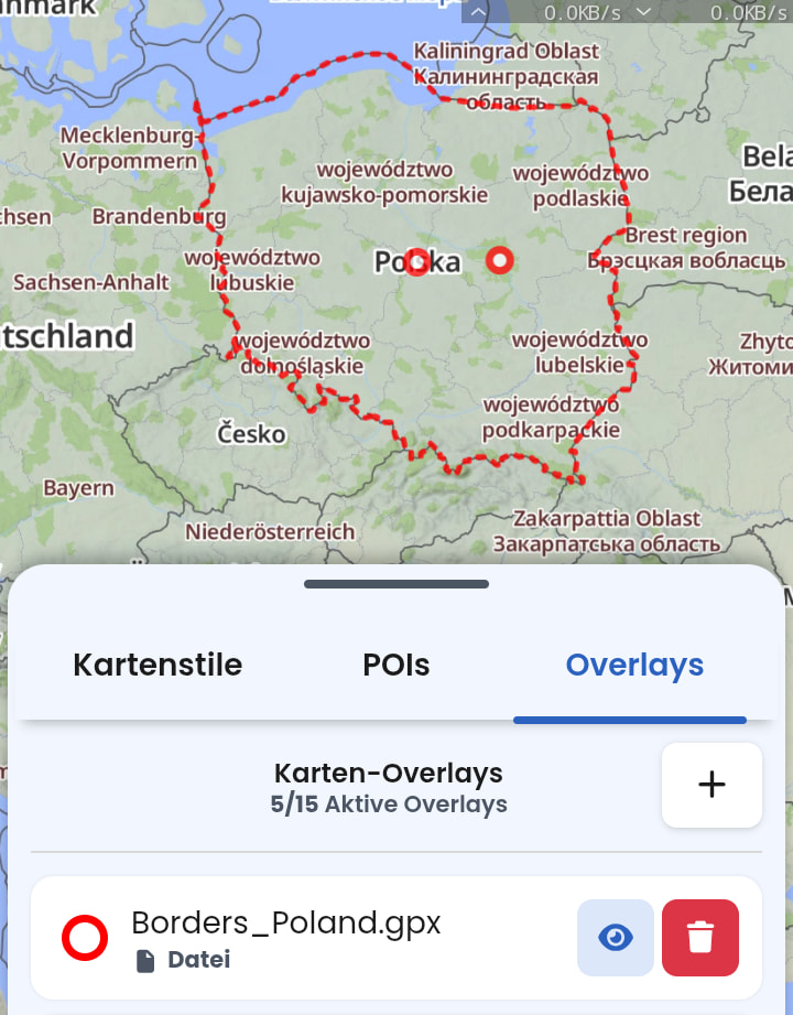
The two points can be hidden (capitol city and the point where in OpenStreetmap the label “Poland” is placed):