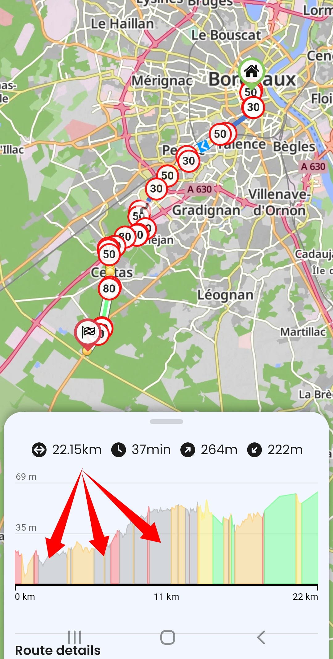
Bonjour la limitation de vitesse ne fonctionne quasiment jamais, il y a un point d’interrogation à la place (?) que faire?
Merci
Bonjour la limitation de vitesse ne fonctionne quasiment jamais, il y a un point d’interrogation à la place (?) que faire?
Merci
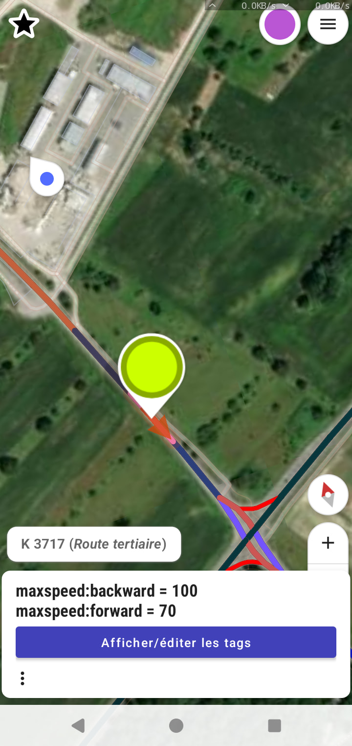
The “?” means that there is no data about speed limits in OSM. This is often the case in remote areas and countries where there are not many OSM mappers.
What you can do is add the speed limits in the OSM for the sections where you know it.
If you do not know how to edit - there is plenty of helpful ppl on the forum that can help you get started.
Merci pour votre aide mais je suit dans la periphérie de Bordeaux qui est une ville, de plus la limitation s’affiche puis disparaît?
As I understand, the “maxspeed” is maintained for some way segments, while others are not. So the display changes to the question mark.
Kurviger is based on the data from OpenStreetmap (like most other Navigation apos, except from the really big players). You can read this thread to check if this could be something to put some free time into (mainly reading the guidelines for all the tags, checking how other mappers are working, understand special cases).
The example is for surfaces, but is valid for any other tag used in OSM. Introduction OSM: App StreetComplete and SCEE
–
From SCEE
OSM Data
Merci pour votre réponse