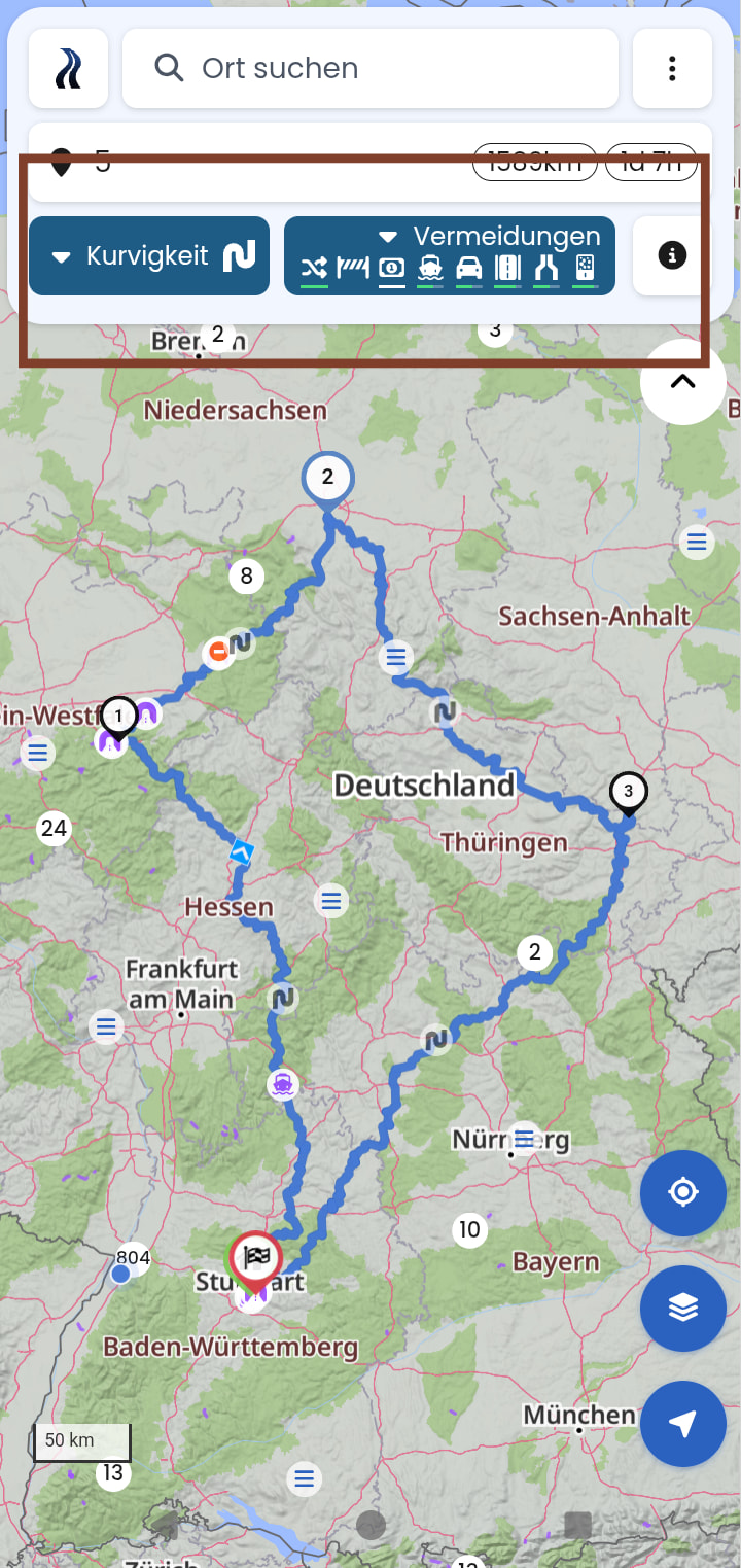
für mich war die Einteilung auch undurchsichtig
BAB ist halt kein “Auto” Symbol sondern 2 Fahr Streifen getrennt Symbol.Autobahn schild at DuckDuckGo
für mich war die Einteilung auch undurchsichtig
BAB ist halt kein “Auto” Symbol sondern 2 Fahr Streifen getrennt Symbol.Autobahn schild at DuckDuckGo
Noch ein weiterer Hinweis zu dem Thema, @Kira
Ich wohne in der Schweiz. Wenn ich hier Autobahn vermeiden möchte, vermeide ich einfach Mautstrassen. Das ist aber auch ein Kniff. Denn natürlich habe ich eine Schweizer Autobahnvignette auch fürs Motorrad.
Wenn ich also (schnell ohne Autobahn) von Deutschland (keine Maut) über Österreich (Autobahn-Maut, die ich nicht habe) in die Schweiz (Autobahn-Maut, die ich habe) fahre, muss ich eigentlich an jeder Grenze einen Zwischenstopp einbauen und zwischen “schnell” und “kurvig” wechseln. Die Einstellung “schnell und kurvig” schickt mir unkontollierbar mal auf die Autobahn, mal nicht.
Deshalb wäre “schnell ohne Autobahn” eine gute Option. Was natürlich die Krönung wäre (so, wie Waze das anbietet), dass man einstellen kann, welche Autobahn-Vignetten man besitzt.
By chance, I was made aware of another app here in the forum. This navigation app uses riding profiles for twistiness. Within these riding profiles, you can adjust everything, such as avoiding highways, cities, etc.
I think such profiles would also suit Kurviger very well.
Is such an integration possible or planned in the near future?
If it’s the app that immediately comes to my mind, then it’s not a pure motorcycle navigation app like Kurviger. Therefore, this app needs routing profiles like motorcycle, car, bicycle, walking, and so on.
Since Kurviger is aimed purely at motorcycles, such a large variety isn’t really necessary, right?
Here you even have all parameters in view and can change them on the fly. Avoidance strength is visible via the blue or green line under the avoidance setting. In my experience, towns and villages are automatically and very well avoided based on the level of twistiness.
Have you ever compared a route planned in Kurviger against it, and does that result in significant differences, or which profiles would you set up?
I think what we have here is rather (once again) the desire for segment-based avoidances.
Yes, the other app can also be used for cars, bicycles, and motorcycles. I’ve now ridden several tours with the other app, and the navigation is just as I imagine it to be.
I configure what should be ridden and avoided in the profile settings myself. Furthermore, I can specify whether highways, expressways, towns, etc., should be avoided and forests and lakes preferred instead.
Well, the planning isn’t as convenient as Kurviger, but the navigation really won me over.
You should leave it up to the rider/planner what they want to ride in their respective profile.
I’ve attached a screenshot of all avoidance options here.
I’ve moved your topic to this thread, where it has already been discussed.
You didn’t answer that question. If you want to configure 17 settings and create a riding profile for each one that matches the plan in your head precisely and does what you think it should, ideally without waypoints… well, good luck with that.
I make the 17 settings once per profile and then I select the right profile for the section. So far it works wonderfully.
No, I haven’t compared it with Kurviger.
Well, that’s what I said:
You asked about routing profiles, whether that could be implemented.
Doesn’t fit — right? You’ve got to explain why and what the benefit is.
Kurviger has disappointed me with the last few routes. I was routed through the tiniest roads and right through towns. Didn’t have that with the other app until now.
This isn’t meant as criticism of Kurviger, but rather as a suggestion for improvement. Kurviger is already pretty cool, but sometimes it behaves rather strangely. Quite a few people here in the forum are reporting the same thing.
Suggestions are always good, but you also have to understand why users make such suggestions. For the purpose of reconstruction, it’s always helpful to have examples you can work through.
It’s not that the team is ignoring the examples or even ignoring the suggestions, but rather that improvements on the team’s end just take a bit longer…
In most cases, those two things are mutually exclusive anyway. If I really want to bypass every single village around here in the countryside, I’m forced to take the tiniest farm tracks to go around it. It usually makes more sense to just drive through the village. Where there are no roads, even a navigation app can’t conjure any up.
However, there are also plenty of situations where you want to bypass a town, and yet Kurviger routes the driver right through it.
Which one does a better job, or are you still at the beginning with Kurviger?
Do you have examples of this?
Please provide a Kurviger link and indicate which route would have been better.
There are plenty of reports here in the forum about similar experiences. Unfortunately, I can’t provide a file.
then it gets difficult, so first implement things so that something like that gets saved and posted, that’s the only way you’ll get ahead.
It seems to be a general problem, since a few people are reporting this issue here.
90% of the time it’s a user “problem,” even if it’s just expectations, but without the file I can’t say for sure.
What’s your issue with uploading the file? You can also trim it down, just get to work!
I no longer have the file.