-
The weather changed during navigating and we wanted to change the route. I have set a new waypoint off the previous route and deleted some of the existing ones. For the latter, I opened the waypoint list and deleted a few existing waypoints, the rest of the waypoints remained active. Since I had activated automatic rerouting, the new route was calculated and displayed immediately. I have therefore never left the navigation mode and changed the route while the navigation mode was active by setting additional and deleting existing waypoints. For that it would be nice if it were possible to open the waypoint list comfortably while active navigation.
-
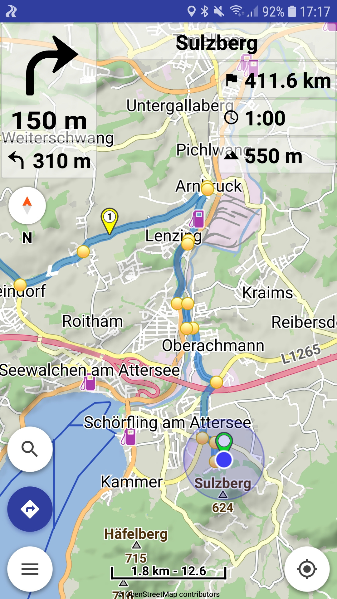
I tried that: Here is a route with several waypoints, total length 411.6 km. When I tap the “411.6 km”, the symbol changes, but the value always remain the distance to destination and not to the next waypoint:
Apart from that, the wish would be to be able to read the remaining route and travel time not only to the next waypoint, but to any later waypoint. For example by opening the waypoint list during navigation (upper point 1) and to display the associated distance and travel time next to the waypoints. Just as an idea … -
Would be great, thanks!