In Austria, and perhaps elsewhere too, an epidemic is spreading that seems like it will never end: “thirty-itis” (Dreißigeritis).
I’ve traveled around Austria a lot this year and noticed that more and more towns, especially smaller ones, are lowering their speed limit to 30 km/h.
Sometimes on all streets, sometimes main roads are spared.
During my trip, I encountered an example that I unfortunately can’t find anymore, but it went something like this:
Road layout: A-B state road (yellow), B-C state road (yellow), A-C road type unknown (white).
Instead of taking the faster route A-B + B-C, I am routed via A-C despite it being the fastest route (highway symbol). It’s shorter in distance, but goes through very narrow streets with several towns that almost all had 30 km/h limits.
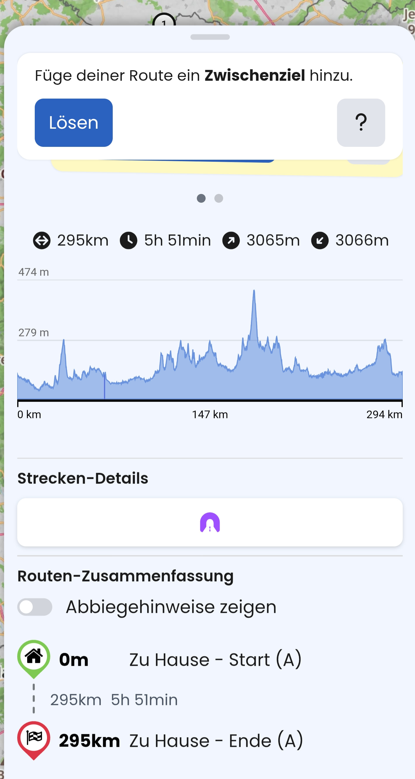
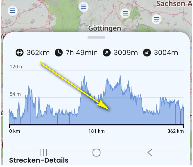
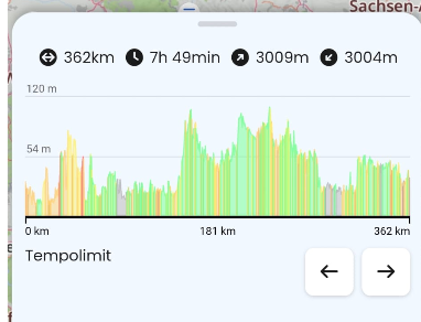
So even if I were to cross-reference a planned route with the speed limit information, it’s not really practical for longer trips, especially since it’s not really obvious in the chart.
Now I’d be interested to know to what extent Kurviger takes these speed limits into account during planning, provided they are available in OSM?
Could the speed limit chart be adapted in some way to make certain speeds (30 km/h limits) more visible?
Moin Ewald,
that happens everywhere, especially in the commuter belt around the major cities. Of course, the commuter belt resident wants a 30 km/h limit right outside their front door and is happy to signal that with an old Bobby-Car. In the city, on the other hand, they like to drive around 80 km/h.
Once one starts, traffic shifts, and then the others follow suit. In my area, 30 km/h zones are celebrated at local festivals, even though the traffic assessment saw no chance for them. Then everything was simply declared a school route and suddenly it worked. Nowadays, there are exaggerations of every kind in all areas.
I am certainly no speed racer and nobody wants to drive behind me, but I no longer see a compromise between getting there and the interests of residents.
I even see more far-reaching developments. First 100, then 70 due to road conditions, 50 after renovation. That’s the road to the highway! That’s why Kurviger already suggests other routes for Fastest. Sick.
Spot on. Near Mainz, a 4-lane highway with a speed limit of 100 km/h was rebuilt over 10 years into an underpass or tunnel with 6 lanes, and afterwards the speed limit was lowered to 80 km/h. Ten years of construction for just about 2 km of stop-and-go, only to end up with an 80 km/h limit for about 3 km. Before that, you brake from 100 km/h down to 80 km/h, and 3 km later 100 km/h is allowed again.
I also noticed this very often senseless “traffic calming” on my trips from south to north and vice versa. Additional signs “clarify”: noise protection, school routes, retirement home, bad road surface(!) and so on. There are no limits to the bureaucrats’ imagination. The true benefit is likely marginal. Restrictions are applied purely at subjective discretion. My suggestion: unrestricted speed on all autobahns, 30 km/h on all other roads.