Would be awesome if Kurviger would allow to draw boundaries of an area for a round trip. For example, say you’re somewhere in the Black Forest, which is fairly enlongated, and you want to restrict the roundtrip to roads within the Black Forest. By drawing around the Black Forest, you’d be telling Kurviger to restrict the route to roads within the Black Forest.
Hello @so8y
Very interesting suggestion. Would also be good for when you are close to a country border you don’t want to cross! We’ll take a look at this idea
Now, why didn’t I think of that?
Great suggestion, hope it gets implemented at some point
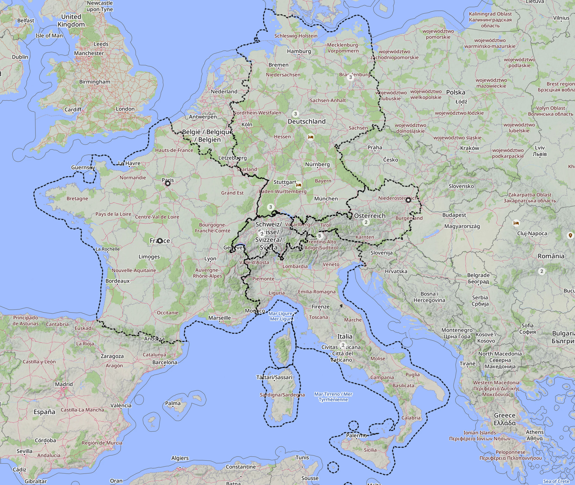
Ich denke, die Idee ist, dass die Rundtour-Funktion durch die eingezeichneten Grenzen automatisch beschränkt wird:
Ja das habe ich verstanden aber da es das so nicht gibt, könnte man sich auch anders zu mindestens optisch helfen.
nun ja das mit den Landesgrenzen hat mich im DACH Raum noch nie gestört , im Gegenteil
dann müsste ich ja jedes mal das abwählen wenn ich am Bodensee bei.
Was evtl nen Sinn macht oder auch einfacher wäre , Rundtour im Zoombereich der Karte ( also im Web interface … wie bei GM , suche im Anzeigebereich, grad wenn man irgend wo im Urlaub ist und die Gegend erkunden will.
aber braucht man das wirklich  da seh ich andere Dinge extrem weiter von auf der ToDo Liste , das ist halt nth.
DlzG