Interesting, I actually thought we would be using the waypoint and not the snapped waypoint. We haven’t changed this recently, I am pretty certain about that. It might have been different 5 years ago, I am not 100% sure anymore.
Generally speaking, it would be possible to use the input waypoint again, I am not 100% sure we should do this necessarily.
You are right: My .kurviger file is from July 2017.
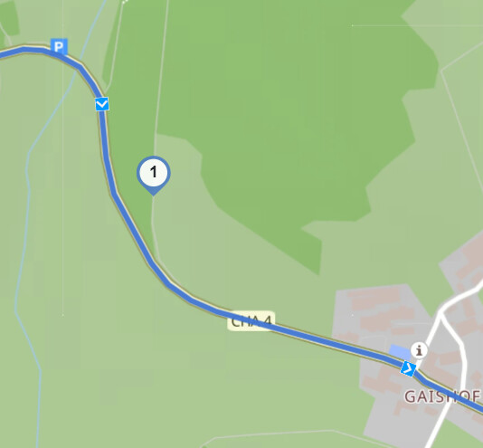
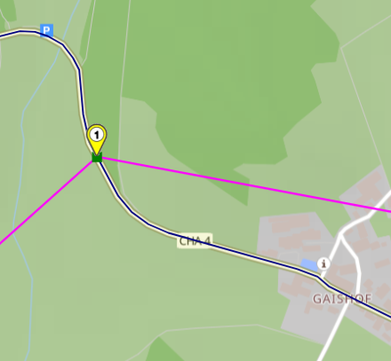
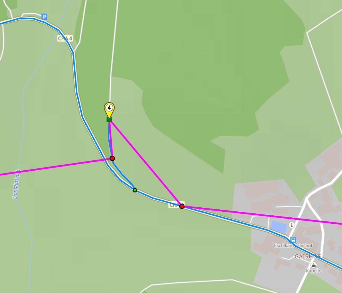
I checked again: At that time Kurviger routed via the track to waypoint 4, I loaded the old file in my Converter (withoud loading corresponding GPX), please see blue line for track:
Remark: According to OSM history the track has not been changed since 12 years:
My usecase: If I want to go to a destination, to which Kurviger can not route, I want to keep the offroad waypoint, so I can navigate to it with the device with wich I import the GPX - at least with birdline navigation.
Thanks. That is a very good idea . And I agree: With that workaround it is better to snap the waypoints to road in GPX export, so that waypoints placed offroad unintendedly are corrected.