Is it possible to show the ferry routes on the map from one country to another when zoomed out? I am trying to plan a trip to the UK and later on a trip to Corsica. I know the ferry routes show when zoomed in. So you have to drag the map around to find where the ferry goes. If the route showed on the map when zoomed out that would be very useful.
One possibility would be to utilise the new possibilities of overlays. In addition, you would have to learn how things are mapped in openstreetmap and how you can query this data with Overpass Api/Overpass Turbo.
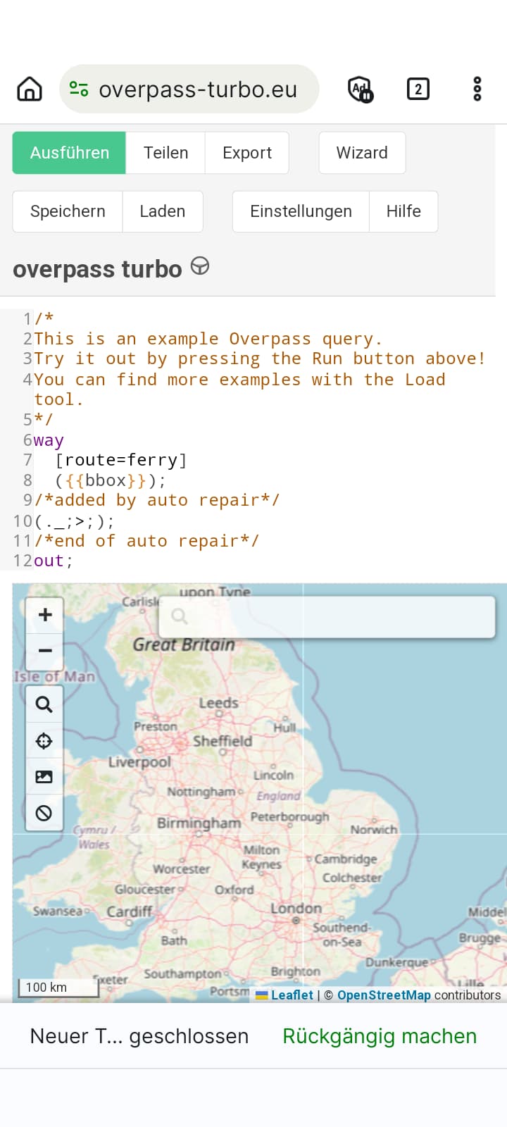
I’ve started looking into Overpass since the overlays became available. I’m beyond any masterclass, but it’s usually enough for my purposes.
This is just a 5 minute test on a smartphone. Better on the PC due to perfirmance. It is just a rough query to search for all ways tagged with “Route=ferry”. Serms to include much rubbish, but could be enough.
Download!! and Import this file in the overlay manager (please don’t use the import function!!!). Not just open in Kurviger!!
OverpassTurboTestRouteFerries.gpx (344.5 KB)
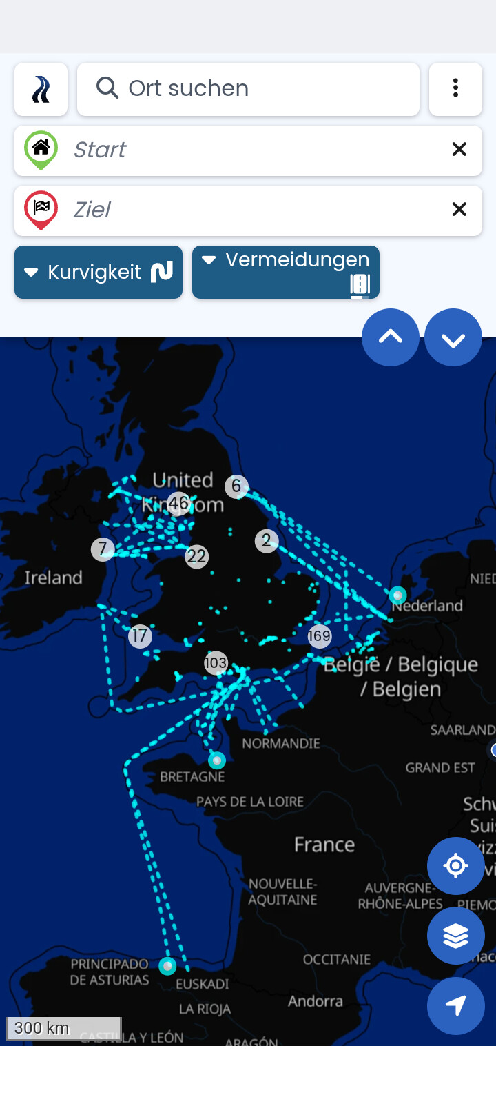
And no. It is not an offer from side to do it. It is just a hint, a motivation, how the Overlays can be used with openstreetmap. ![]()
Thank you for the reply.
I did try to use Overlays in a different manner by creating a point to point ferry route and saving it as a route and then display it with Overlays. The first one I tried failed since it did not route by ferry as expected. That could be a problem with OpenStreetMaps? I also checked the avoid ferry setting and it was fine.
I still believe it would be useful if the ferry routes showed when zoomed out. However this workaround does not appear to be convoluted so I will give it a try. And report back as soon as I can.
Okay it worked.
One question though, why does it only show ferries around the UK? And not Italy and Greece? Is it linked to the map showing on the screen or is there something else?
Exactly. The {{bbox}} takes the area which is visible on the map (bbox = bounding area) to avoid huge data processing.
You may check the docs and provided examples on the overpass sites.
This would output all nwr (nodes, ways, relations) of Edekas (supermarkets) in Germany independant of the window size. For whatever use, just as example. Result are points. Out center = middlepoint in case of ways like buildings. Others may have better solutions.
[out:json][timeout:90];
area[“ISO3166-1”=“DE”]->.boundaryarea;
nwr(area.boundaryarea)[“name” ~ “EDEKA.*”];
// print results
out center;