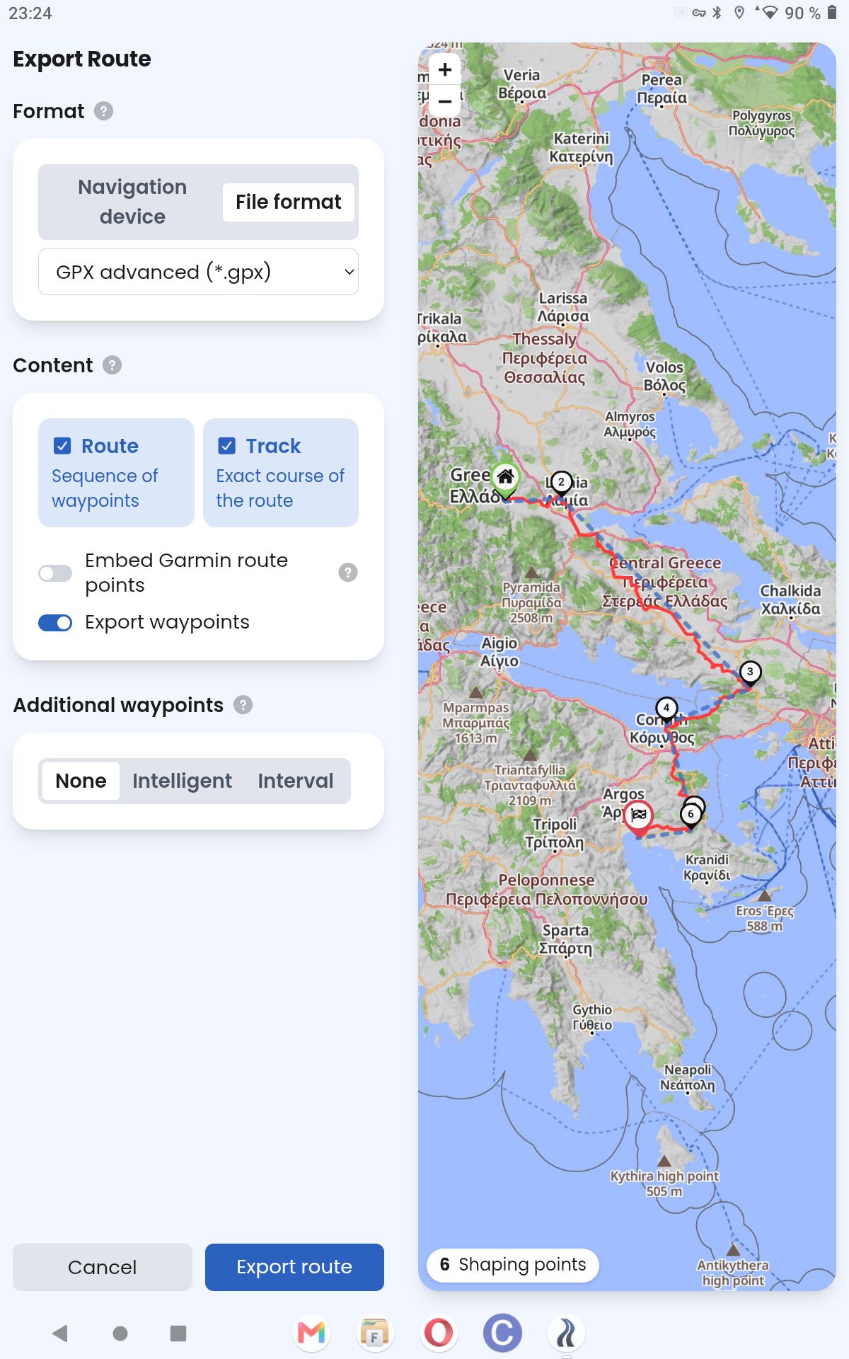
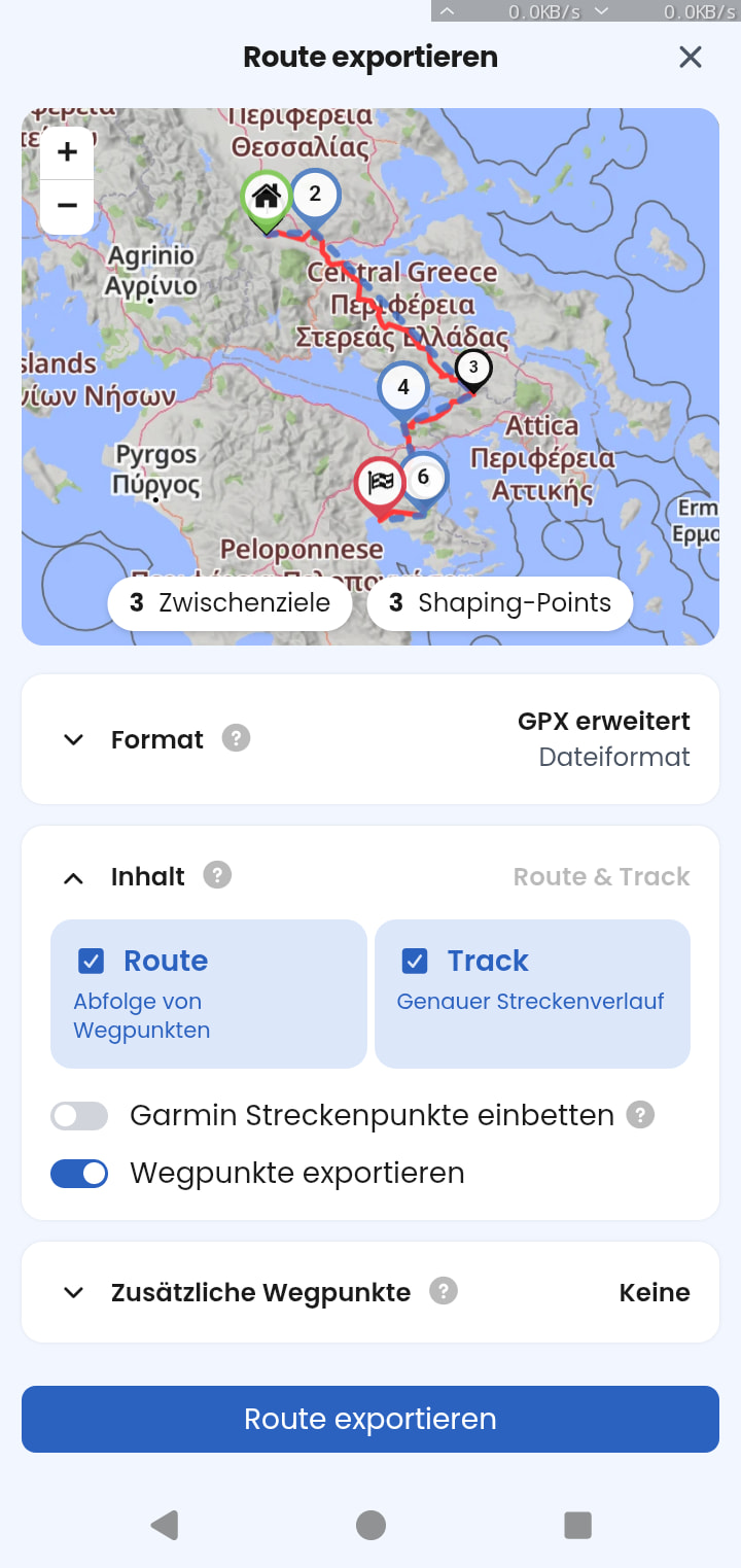
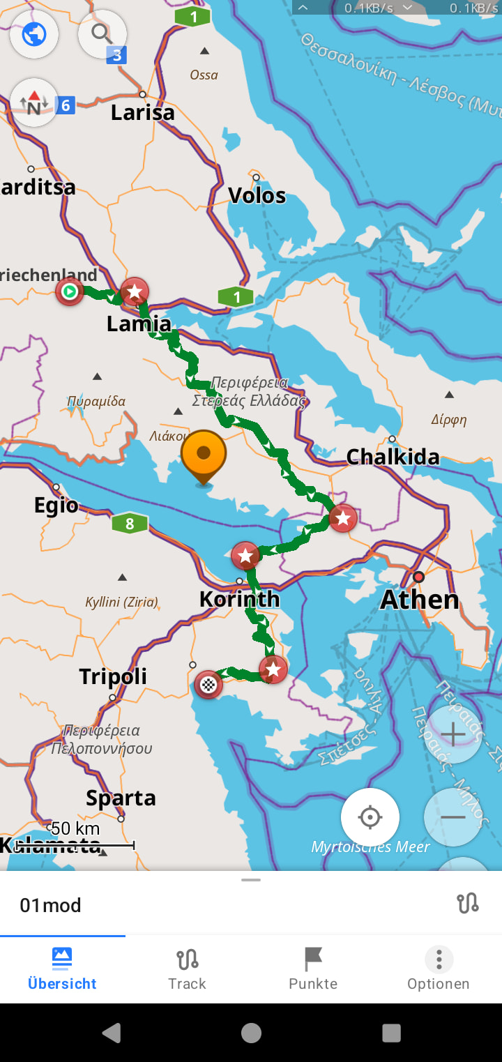
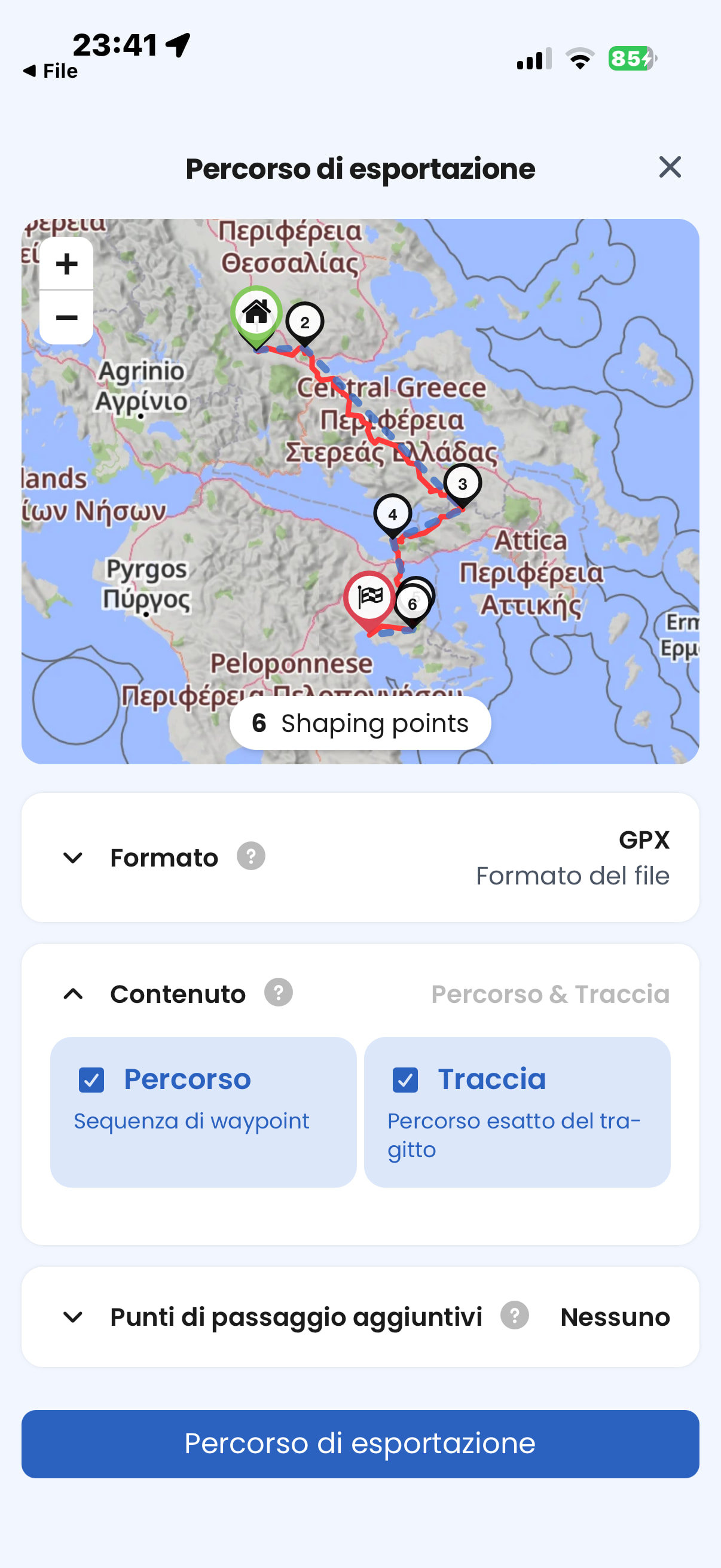
I’m having a problem converting .kurviger files to .gpx. Despite choosing to export both the track (waypoints) and the route, the resulting files, when opened with other navigators (Osmand for example), don’t display the waypoints. A quick search identifies the cause of the problem:
missing a wpt block before rte
and points to the solution, which is to add this block.
With the help of Gemini and a bit of copying and pasting, I managed to edit the file, and now the waypoints are displayed correctly.
Am I doing something wrong in the conversion process, or does Kurviger work this way for some reason? Manually editing the GPX files is possible, but it’s tedious
01-Original track.kurviger (78.1 KB)
02-Original track.gpx (844.9 KB)
03-Correzione .txt.gpx (642 Bytes)
06-File corretto.gpx (849.1 KB)
I’ve attached some example files.For those who want to try, to edit a gpx just rename it txt and vice versa