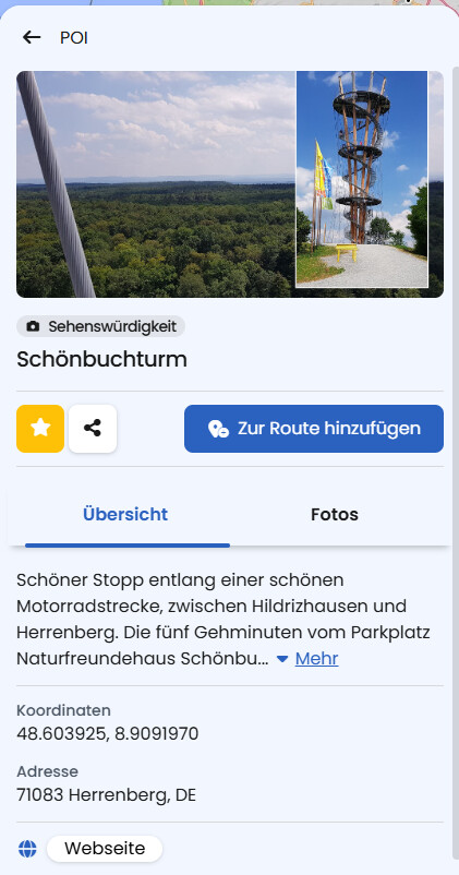
While appreciating Kurviger to plane rides, I often stumble about the POIs.
some PIOs are closed of public like “Schloss Wietersheim” - it’s a locked private property - you cannot even see anything behind the trees - complete waste of time.
Some POIs need 30 Minutes of walking - with Protection Boots? Nope! Waste of Time!
I often use POI to explore the area and plan a tour in different directions - if >50% POIs are fake, it’s often a huge disppointment.
Suggestion:
I like the POI, but we need more information:
Visibility from the outside? Street? Parking lot?
publicly open?
entry fee?
How many minutes I need to WALK to get there? 5min OK 30min NONO
So what i’m asking for is some metadata to help me categorize this place:
Is this my final goal for the day where I will spend 2h?
Or is it a SMALL detour to take a quick foto? Maybe it’s worth cruising around the object before heading to the next.
Ofc you could scrape data from 3rd party to enrich the POI, but you could also introduce biker-relevant user-generated ratings.
I totally get the point: it’s frustrating when a POI turns out to be private property or a 30-minute walk.
Many POIs come from OpenStreetMap, where metadata like that is often not available. Our own Kurviver-POIs often have some additional text and or tags and links that could help you classify a POI for yourself.
Another option is to click on “Google Maps” in the POI Details (scroll down). This will take you to the location on GMpas, where you can find more information about it.
There’s also a feature that lets you add photos to a POI. When users upload photos (e.g., of the access road, the parking lot, the view, or how “accessible” a location actually is), it really helps others to make better decisions when planning their rides. Maybe you want to take part here too.
You’re right, and that sounds like an idea to look into. The photo upload feature is certainly not the end of the story regarding POI info contribution, and there will be more to come in this area as well at some point.