Es geht um folgende kurze Route: https://kurv.gr/W5f06
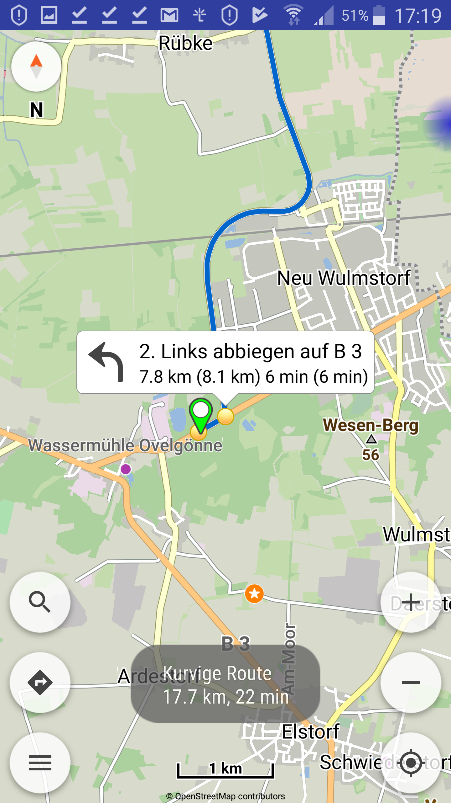
Wenn ich in der app auf den ersten Abbiegepunkt tippe, wird in der Info-Blase ein Rest-km-Wert angezeigt (7,8 km), der nicht richtig ist und nicht mit der Länge übereinstimmt, der beim Tipp auf die Route erscheint (17,7 km), siehe Bild:
btw: Es ist auch seltsam, dass in der Einstellung “Schnelle und kurvige Route” ein solch großer Bogen geroutet wird. Es sind keine Vermeidungen aktiviert.
It’s about the following short route: https://kurv.gr/W5f06
When I tap the first turn (in the app), the Info will display a residual km value (7.8 km) that is incorrect and does not match the length of the route’s tip (17.7 km) km), see picture.
btw: It’s also strange that in the setting “Fast and curvy route” such a big bow is routed. There are no avoidances activated.
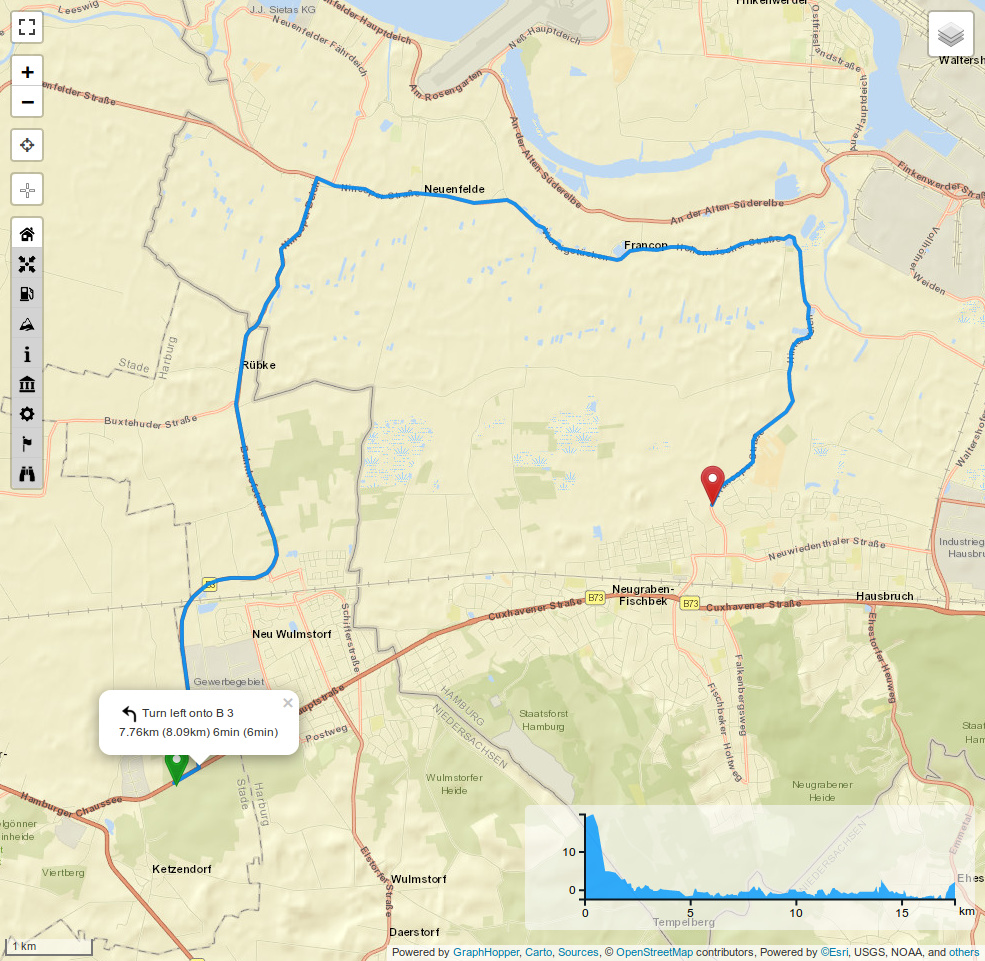
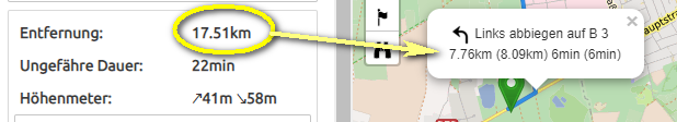
Turn left onto B3. Then follow the road for 7.76km. From the beginning of the route, you traveled 8.09 km by then. Then you need to turn right on “Nincoper Straße” and follow the road for 9.42 km. Then you will reach the destination.
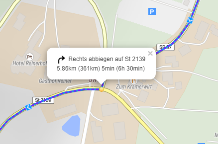
Wenn ich die Bilder richtig interpretiere heißt es beim Ersten: Links abbiegen, 33m folgen, 355km gefahren… beim Zweiten: Rechts abbiegen, 5,86km folgen, 361km gefahren? Bei 33m fahren ergibt sich ein Unterschied von 6km?
The topic itself is already older, but I noticed it again during my current planning:
If I interpret the pictures correctly, the first one says: turn left, follow 33m, drive 355km… …the second: Turn right, follow 5.86km, go 361km? At 33m there is a difference of 6km?