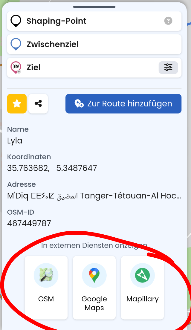
When searching buggy OSM tagging with a given route it would be helpful to have a feature to display current map area in Overpass Turbo.
So for example I propose to add it to waypoint panel additionally to OSM, Google and Mapillary.
When searching buggy OSM tagging with a given route it would be helpful to have a feature to display current map area in Overpass Turbo.
So for example I propose to add it to waypoint panel additionally to OSM, Google and Mapillary.
Thanks for the proposal. I think this might be a bit too special to be honest?
Make it as Easter egg function then. ![]()
I agree that only a few users who do OSM mapping / tagging might use that - I think it is more useful if I implement that on gpxshaping.de - perhaps a special page where Kurviger link can be entered (pasted) and covered area is shown in Overpass Turbo.
But searching via Overpass Turbo (e.g. for nwr with access=no) saves a lot of time when searching items blocking a route. And scrolling / searching that area in Overpass Turbo manually is annoying…