Trying to plan a route between 46.418996, 11.679448 and 46.457792, 11.701274. When the avoidance “Unpaved roads” is activated, the proposed routes are becoming ~100km - instead of ~5km. There is no way for a direct route, even no blockings are reported. Without the avoidance “Unpaved roads” the route uses unpaved roads, whish is not my goal.
The same planning works with Garmin zumo XT, Google Maps and OSRM, so it seems there is a hidden lock in Kurviger.
It’s helpful to share the route in question straight away, as otherwise potential helpers have to enter the coordinates manually.
Here it is:
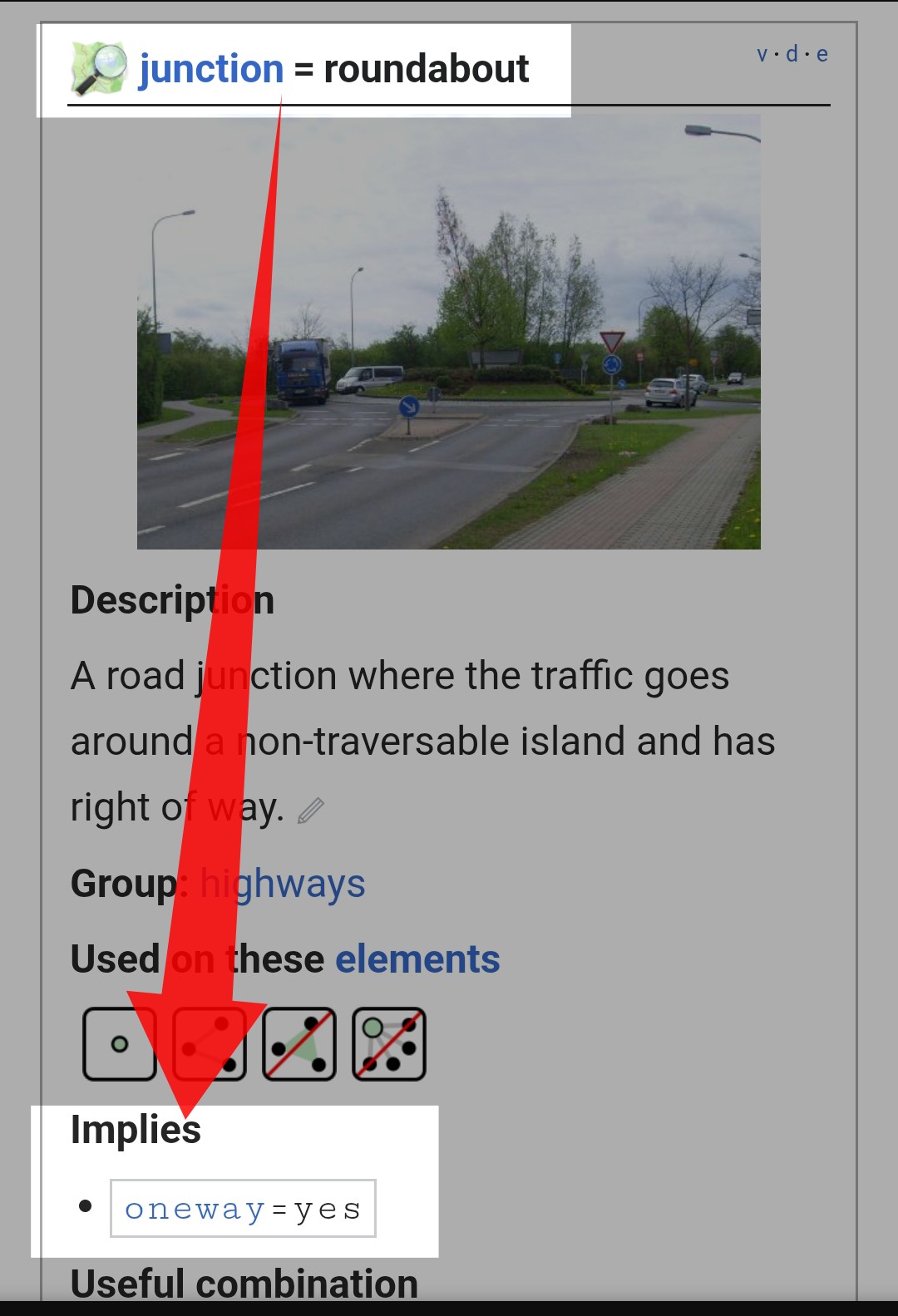
The simplest test is to reverse the direction and check whether it works then. If so (as in this case), then a section of the road is probably only marked as a one-way street. You then need to pinpoint the exact location of the problem in OSM (e.g. by moving the start and end points until it works) and either report the issue or correct it yourself.
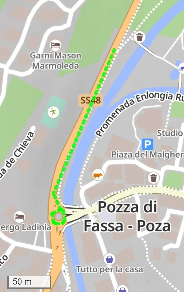
Someone was tinkering with this 8 days ago; I still don’t understand where the problem lies:
It was tagged “oneway:no” four days ago, probably in attempt to fix the issue, but before that it was not tagged with “oneway” at all. My maps are from yesterday [19.07.], so the “oneway:no” is probably already in them.