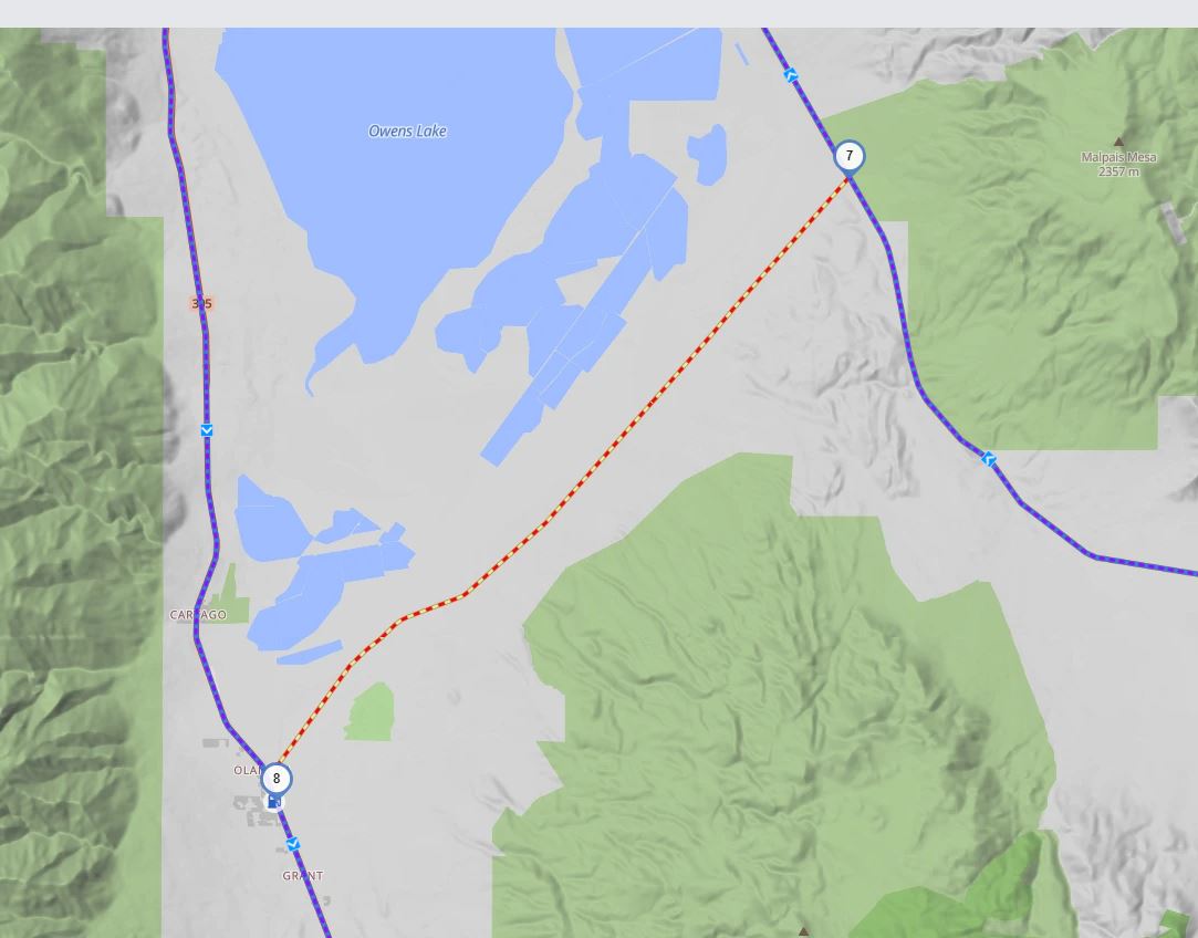
California Hwy CA-190 shows being closed on the Kurviger map. This route is open for travel. Where is the information gathered to indicate roads are closed?
(Debug information, this helps us helping you, you can remove this if you don’t want to share this data, it should not contain any personal or sensitive information)
User Agent: Mozilla/5.0 (Windows NT 10.0; Win64; x64) AppleWebKit/537.36 (KHTML, like Gecko) Chrome/122.0.0.0 Safari/537.36
Cookies Enabled: true
Screen: 1920 x 1080 px - 1dppx
*
f-Prump-Lodge-436alt.gpx (1.1 MB)
*