Hi,
Is it possible to display road surface information on route planning?
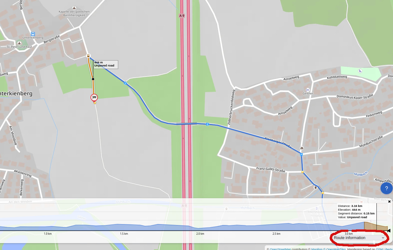
here:
like which section has asphalt which section is unpaved etc…
What part do you think is unpaved?
Remember that Kurviger can only show unpaved sections if they are correctly tagged in OpenStreetMap (OSM).
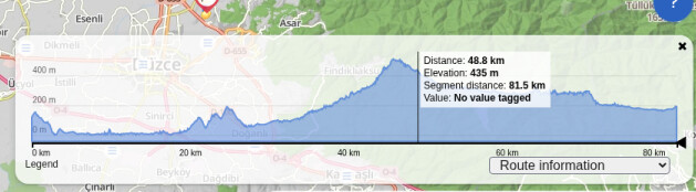
There are no unpaved roads on the route. I was just checking to see if there were any. If Kurviger only shows unpaved roads, then that makes sense.
Beware that Kurviger will only show unpaved roads if they are tagged accordingly in OSM. If the road surface is not tagged at all (e.g., in Turkey this might be the case), Kurviger will display those sections in blue color as well. So, you cannot always rely that everything is paved if everything is displayed in blue.