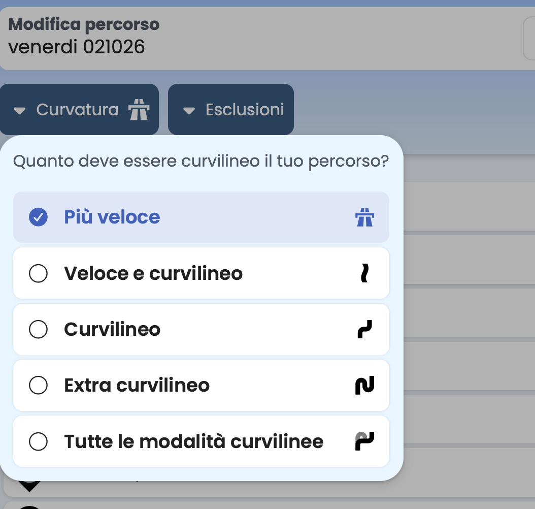
I often plan long day trips using the “Fast and Curvy” or just “Curvy” setting, but every now and then I need sections with the “Fast without highways or toll roads” setting to quickly rack up miles on main roads. Unfortunately, this option doesn’t exist yet. Might the Kurviger team be interested in adding this option to the app? Best regards, Christian
Hi @Aschi,
Thanks for your feedback! We’ve actually received this comment a few times already and are already looking into it 
Hi Aschi,
just to understand correctly, do you want to split the tour into sections with highways/toll roads and without? Or is it generally just about avoiding highways/toll roads while taking the fastest route for the arrival and departure?
I don’t want to drive on the Autobahn at all. I plan routes using “Fast & curvy” or “Curvy & extra curvy”, but I also want to quickly rack up miles on federal highways (Bundesstraßen) in between. However, with “Fast & curvy”, the app keeps leading me off the federal highway onto a curvy road and then back onto the federal highway. I’d like to avoid that.
Best regards,
Christian
I think that best describes what most people want for fast and curvy.
- No highways
- Federal highways preferred
- Country roads if no major detours.
- Use bypasses
Lots of curves are a very weak criterion or of no relevance.
Then you can just use “Avoid highways”. And you can even set the curviness to “Fast” …
Thanks Christian for the clarification. Take a look here, you can adjust the curviness between two waypoints from fastest to extra curvy:
If you also avoid highways, you’ll get the desired result with the ‘fastest route’ between two points. If you’re not sure, please send a sample route as a Kurviger link (Load route → 3-dot menu → Share → Share link → Copy link and paste it here).
As also reported in other topics, the point here is also to plan tours that feature both fast, direct highway stretches (e.g., traveling from home to a scenic region) as well as fast, direct stretches WITHOUT highways (or toll roads). The latter are useful for quickly getting through a boring area on a planned route, for example.
With current options, creating such a route is cumbersome. You either avoid highways globally and then laboriously insert the highway stretch using countless shaping points, because the automatic routing insists on taking almost every exit and getting back onto federal roads. Or, conversely, you allow highways, but then have to laboriously keep the route away from the highway using shaping points on every single road section near a highway (set to “fastest” or “fast and curvy”).
(When planning, I almost always use “fastest” because only then does the route run without artificial detours between the shaping points I intentionally set).
Take a look at this, an example route from Frankfurt am Main to Todtnau in the Black Forest. The first leg is via the autobahn to Rastatt, then extra winding through the Black Forest. The route consists of the start, a shaping point, and the destination. Two different route options and it’s in the bag: Kurviger – Motorcycle Route Planner & Navigation
I think it’s about getting across the country quickly without taking the motorway. So, the fastest route without motorways. I already brought this up about three(?) years ago at the trade fair in Dortmund, and they said they’d look into it.
Anyway, I’d love to have this option too.
Well, as described further up: route option ‘fastest’ and under avoidances ‘avoid highways’. It would really be very helpful if we had concrete examples — otherwise, I’m afraid we’re talking at cross-purposes.
Then just do it, avoid expressways. Unfortunately, the word highway isn’t on it, because in doubt, 4-lane motorways are avoided here as well.
I understand it. But I wouldn’t have taken that highway exit under any circumstances. Either get off at Ettlingen and then go through the Spessart and past Geroldsau onto the really scenic route, or keep going on the A5 until Bühl.
it was just an example 
OK, here is another concrete example. Maybe that makes it clearer what some users, including myself, would like to see.
It’s about a day tour consisting of the following segments, for example:
- A to B, direct route from home to the destination area, highways preferred.
- B to C, planned curvy route.
- C to D, fast connecting leg, direct route WITHOUT highways (e.g. due to foreign toll fees, etc.).
- D to E, planned curvy route.
- E to A, direct route back home, highways preferred.
For the planned curvy routes, I select “fast” because I don’t want the route planning to add detours on its own.
Precisely for this, having a “fast without highways” option would be ideal.
Add a shaping point to each of your letters.
Avoidances: Toll roads on 4 places (no vignette, but other toll roads are used)
Then you adjust the curviness for each section between the shaping points.
The result will then be very, very close to what you want.
Now just move one or two shaping points to get exactly what you want.
Please keep in mind that it cannot be effective for an algorithm to do precisely what you want. Because in all likelihood, it is not what thousands of other people want.
Oh, and what you described is not an example as intended. A route link like further up is preferred as an example. Because with text, there are bound to be more misunderstandings.
Generic descriptions are always difficult to implement, as @Serpentinenfanatiker already mentioned, a concrete example is always better.
I implemented your specification using a sample route, without explicitly excluding the highway, and this is the result:
Between points 2 and 3 (fast and curvy route option), the highway is still used.
If I avoid major roads at level 5, the approach and departure are not routed via the highway either, despite the fastest route option:
If you now avoid major roads at level 2 or 3, the approach and departure via the fastest route remain, there’s no highway in between, and the curvy sections remain unchanged, which should correspond pretty closely to your specification:
Conclusion: Kurviger can plan the route according to your specifications using avoidance levels.
If you get stuck with a specific route, please send it to me with a link — I’d be happy to take a look at how we can achieve the desired result.
Personally, I always plan with more shaping and via points, as that reduces the risk of the route being completely rearranged during a recalculation. More points always mean more precise route planning.
Hi @Giorgio,
Thanks for your feedback! We’ve actually received this comment a few times already (there have also been two discussions in the forum about it recently) and we are already considering this issue. 