I think I have found an issue with the map profile detail when Kurviger calculates Distance (mi) and Elevation (ft) compared to metric. Appears there is a conversion error?
Hi! Could you please add a screenshot or a description of the steps that lead to this? When I make a route and switch to imperial units it… Kinda looks correct to me at first glance? I might be wrong though. Can you help me reproduce / understand the problem?
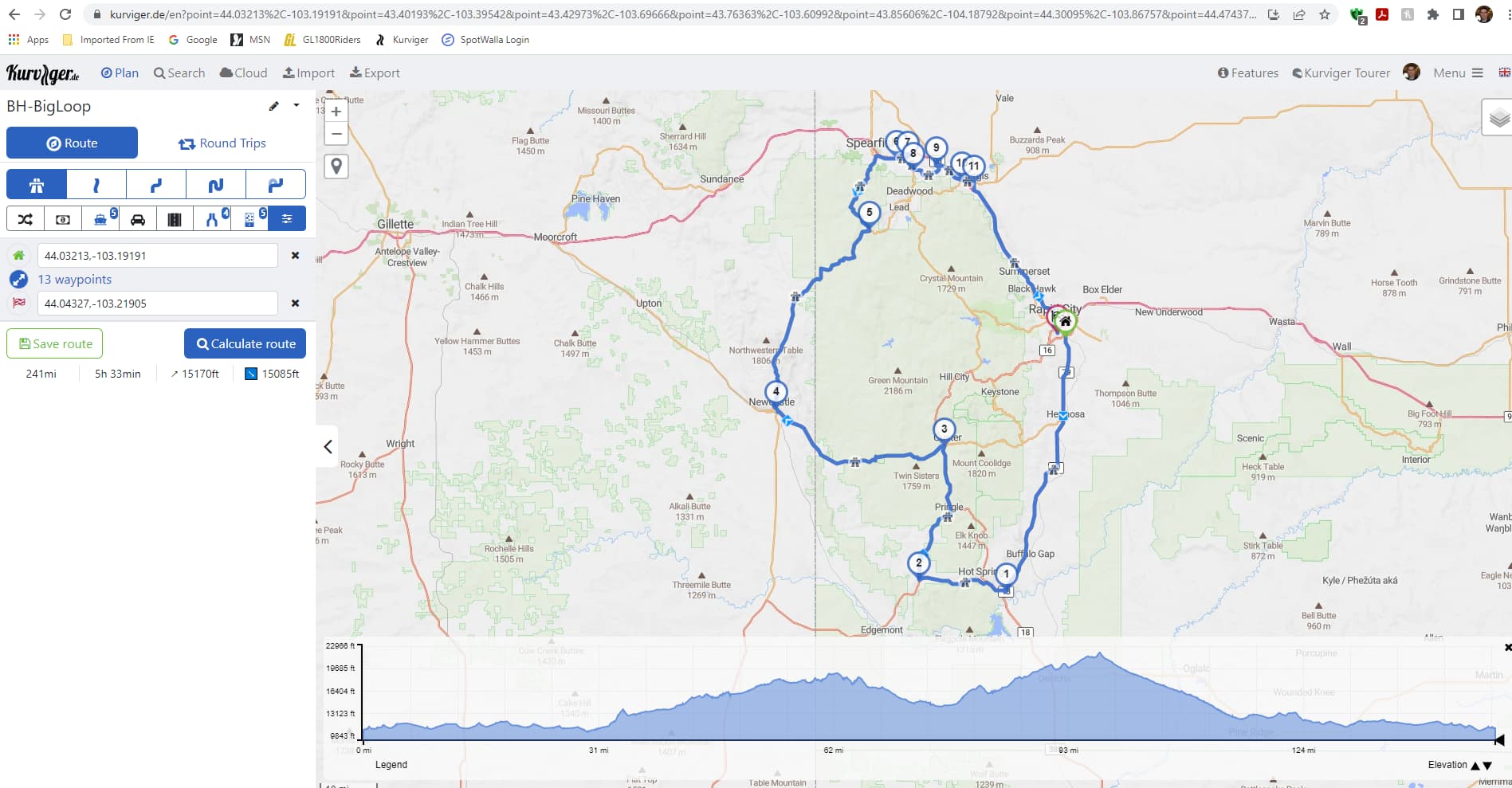
Thanks for the screenshot, we did a larger update of the elevation diagram recently, maybe we introduced an issue here.

This issue should be fixed now. Please let me know if this works for you.
Note: please make sure to clear your cache or force a “hard reload” by pressing “Ctrl+Shift+R” or by using a private/incognito window.
That did the trick, thank you very much!