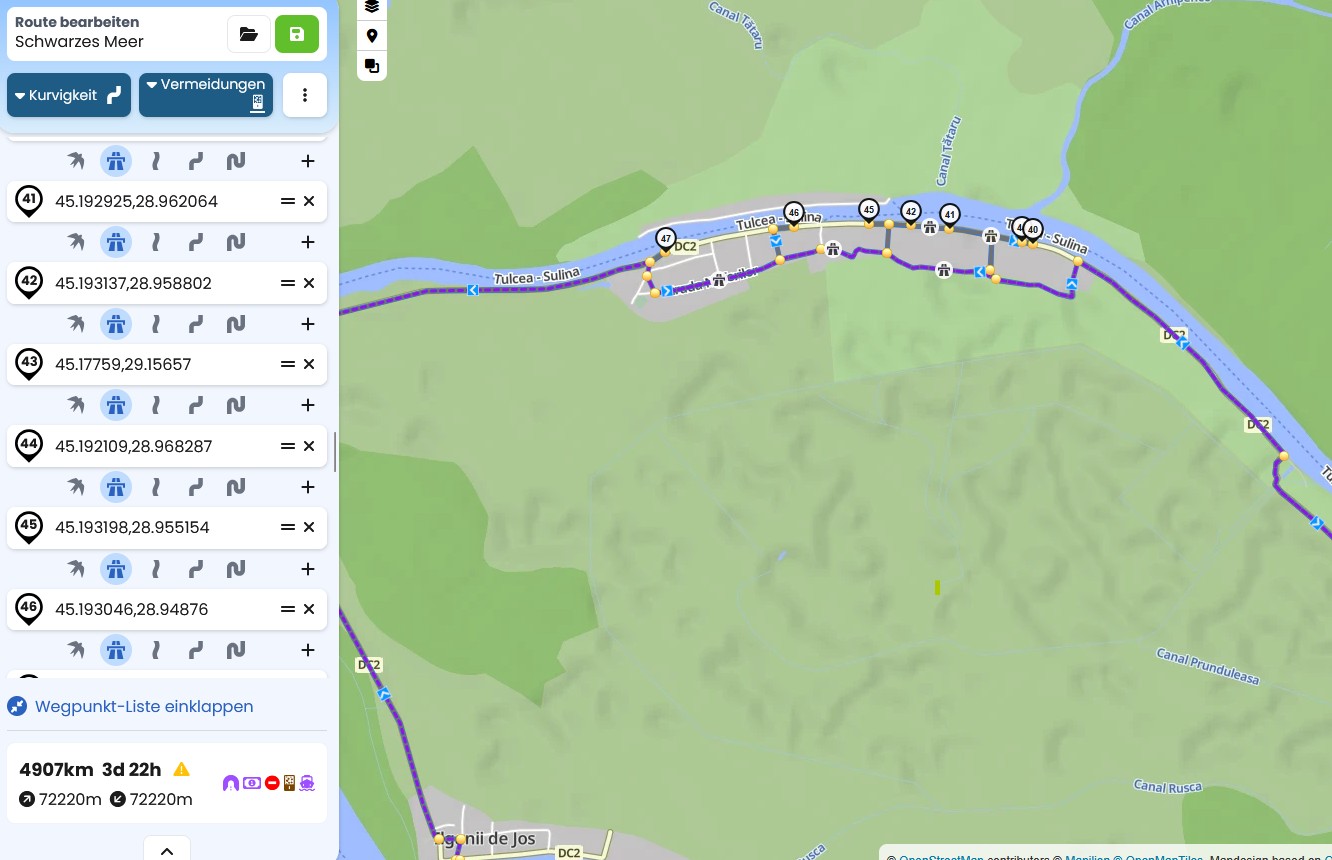
I tried to update my route thru Romania. But at some point I’m having problems planing because kurviger will not use direct route between shaping points but will allways create weird detour.
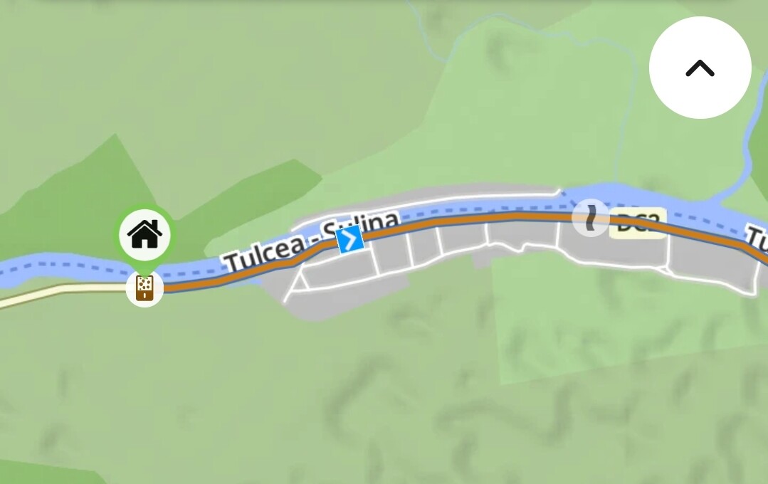
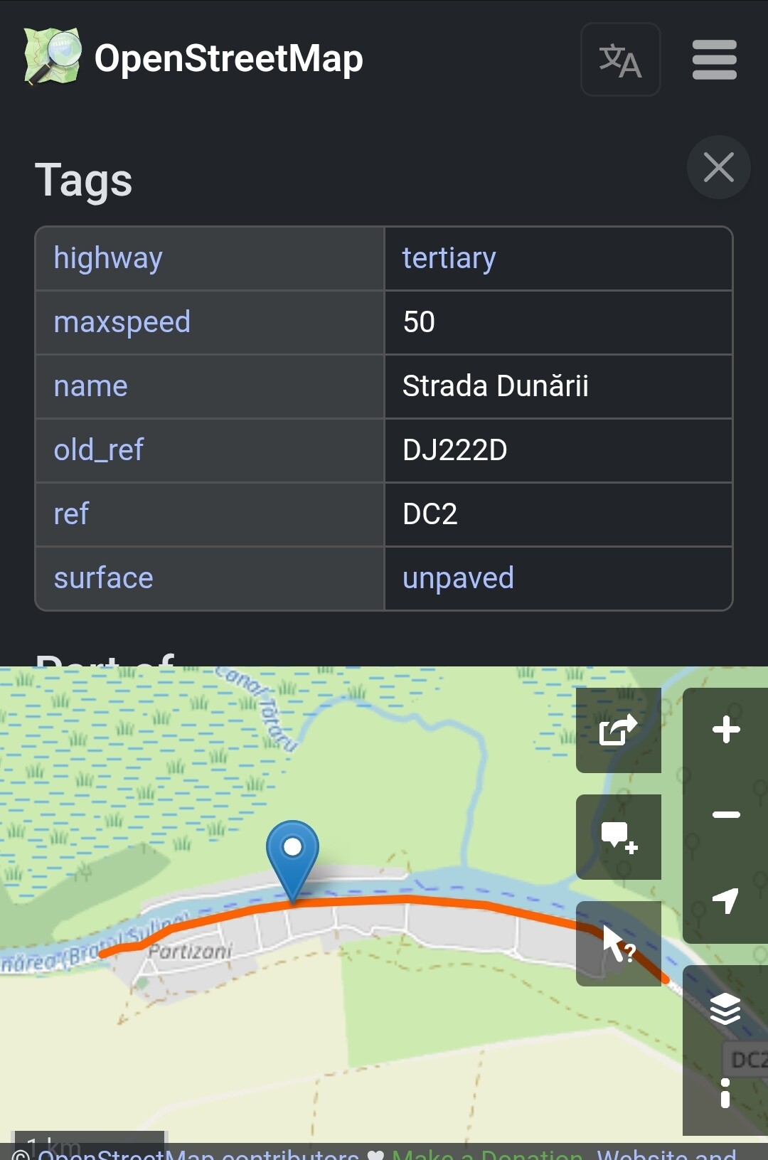
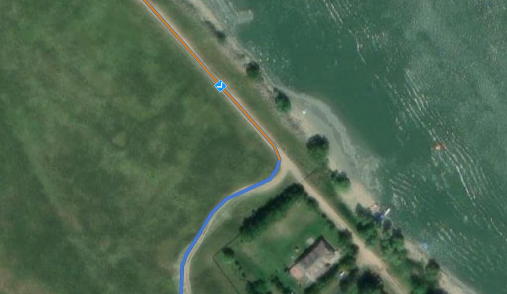
It’s in a small Village named Partizani at the Sulina arm of the Danube. I try to crate a direct route thru the village on the DC2 road. But as you can the on the screenshot it will allwas create weird detours via side streets although I said fastest route
. Any ideas?