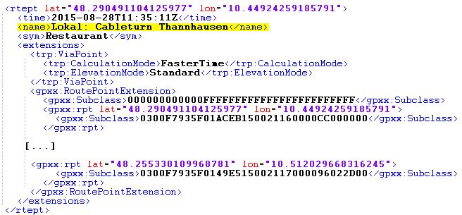
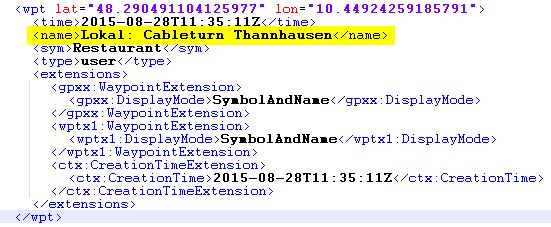
New Kurviger user here, but not new to GPX and creating tracks. I want to be able to add my own custom POI/waypoints and have them become part of the exported GPX file. I’m talking about points of interest in an area of my track that I want to have noted on the map while I’m navigating. Things like “Waterfall7”, “CreekCrossing2”, “Cliff Overlook”, “MissileSilo”. These may be actually on my track, but more often they are not–just interesting things in the area. Although I want to call these “POI”, the systems I’ve used in the past create these as waypoints which seem to be more commonly supported. I don’t care, I just want a context-specific icon or at a minimum, a generic flag, and a point name to indicate something I might care about along the way.
The fact Kurviger does not let me do this (or that isn’t a fact, and I’ll be pleasantly surprised!), I have to assume there is a standard way folks do this outside of Kurviger. My experience is the old Garmin Mapsource program followed by their Basecamp application. For the last 2 years, I’ve been using RideWithGps.com to create my tracks. All of those tools allow me to create custom waypoints/POI.
Kurviger lets me create waypoints, but they are true waypoints–actually points IN the track.
Hopefully my desire here is clear and a relatively common one.
![]()


