Baladounette 174 km.gpx (708.2 KB)
Gpx issu de Base Camp
Baladounette 174 km.gpx (708.2 KB)
Gpx issu de Base Camp
Your file works as intended on my device, could you clarify what exactly is not working for you?
If something does not work, please feel free to open a new thread with more information what exactly is not working.
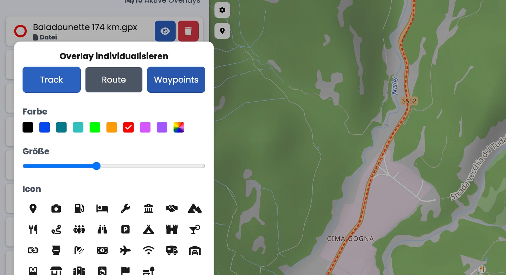
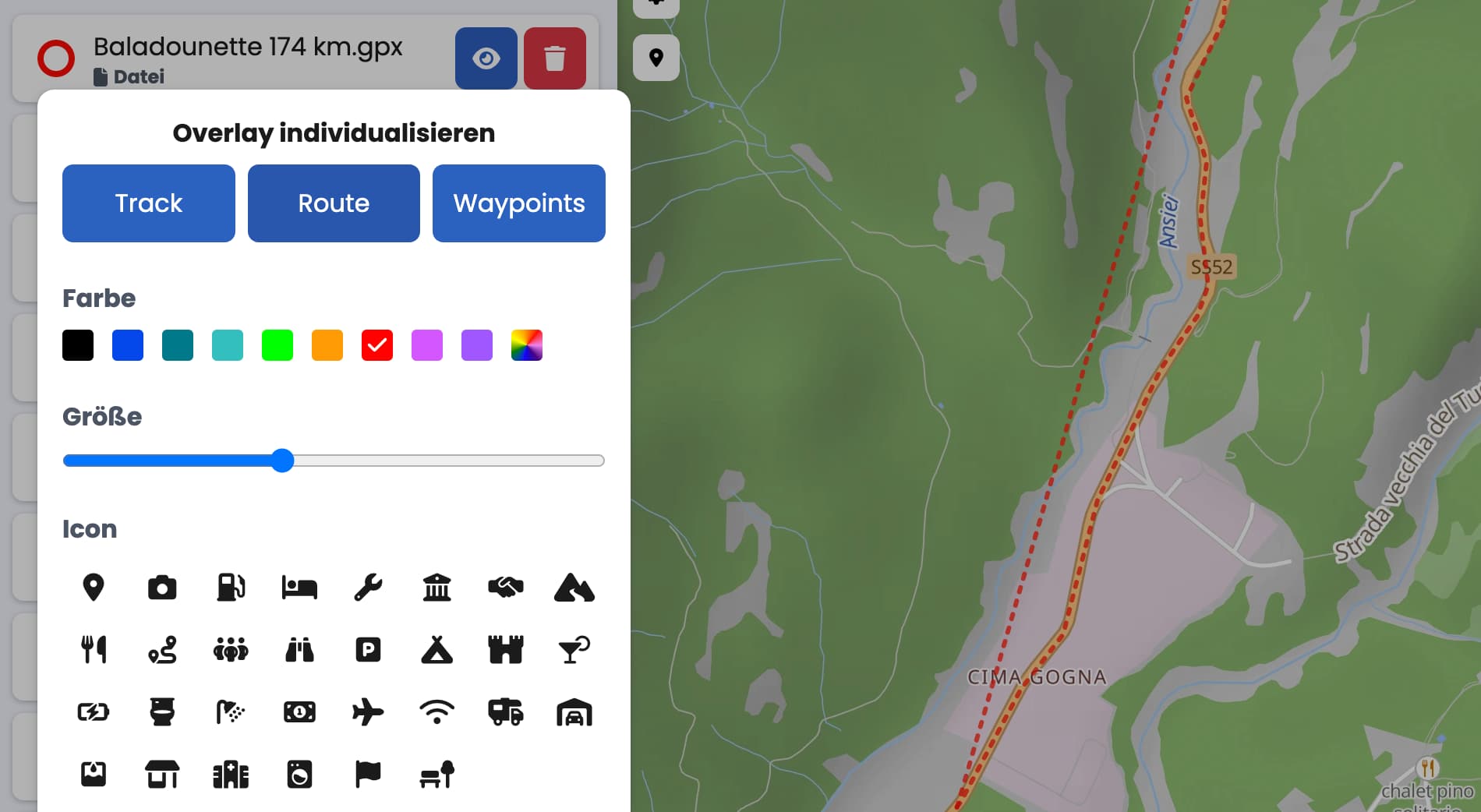
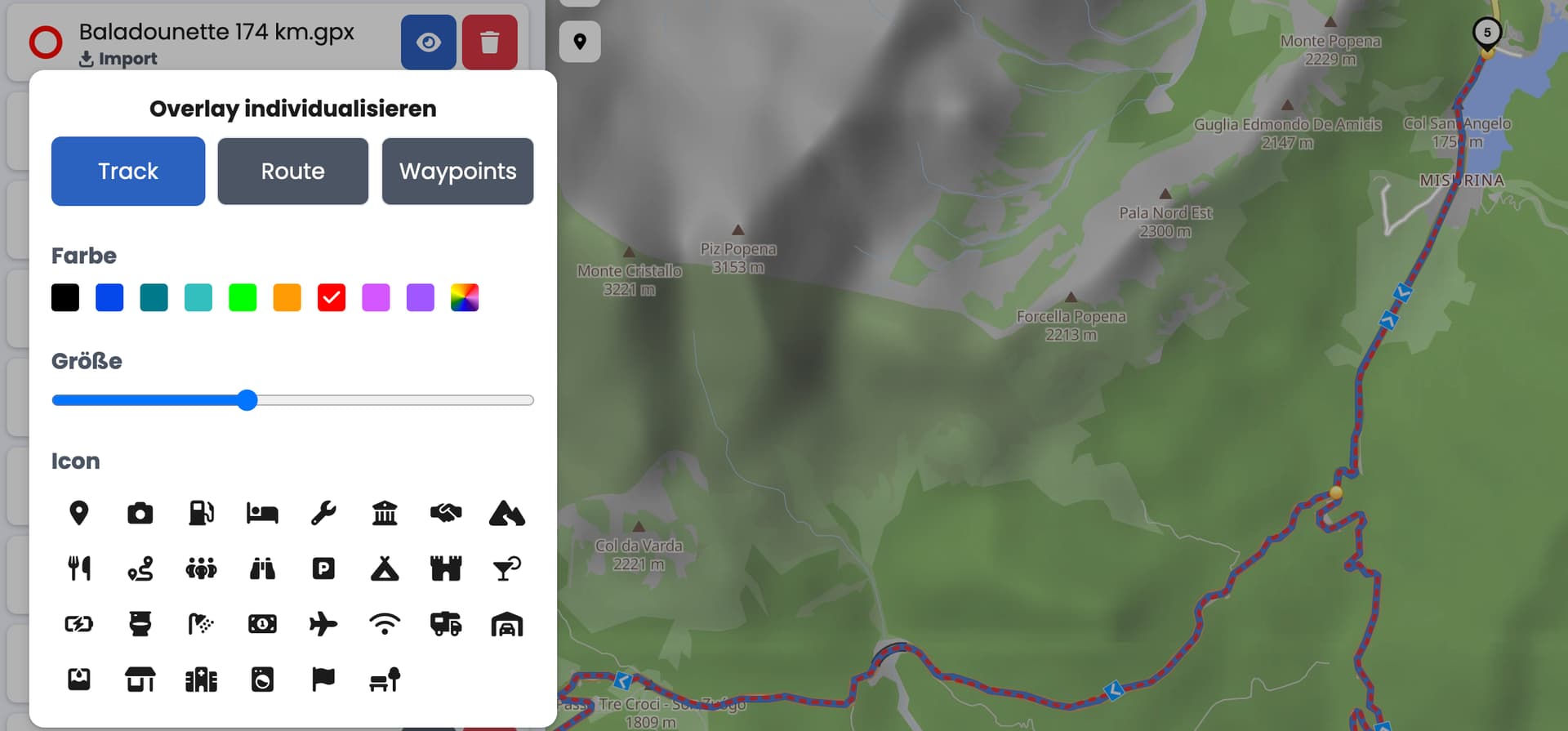
hello , oui mais vous avez activé la route et non le track , moi je parle du track
Maybe I am misunderstanding you, if yes, please provide some more details. In my screenshot I had unselected the route and as you can see the straight lines between the waypoints disappeared, the track itself is still shown as it was exported from Basecamp.
oui mais que se passe si vous utilisé uniquement le track ? ? le track ne collera pas exactement à la route que vous avez importé par avant en ne faisant que relier les waypoints entre eux , alors qu’ 'un track devrait correspondre exactement à la route .
Sorry I am not sure if something is lost in translation here.
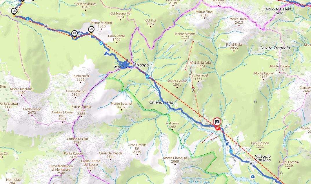
You are comparing the calculated route of Kurviger to the route in the GPX file. The route in the GPX file is a straight line, this is correct and the definition of route in GPX. The calculated route in Kurviger (the blue line) should follow the track in the overlay (red line). As you can see in my screenshot, this is the case.
je viens de comprendre
En fait pour sélectionner uniquement la trace il faut enlever les deux autres
Traces en bleu et route et waypoints en grisé .
je pense que c 'est un point a preciser pour les utisateurs
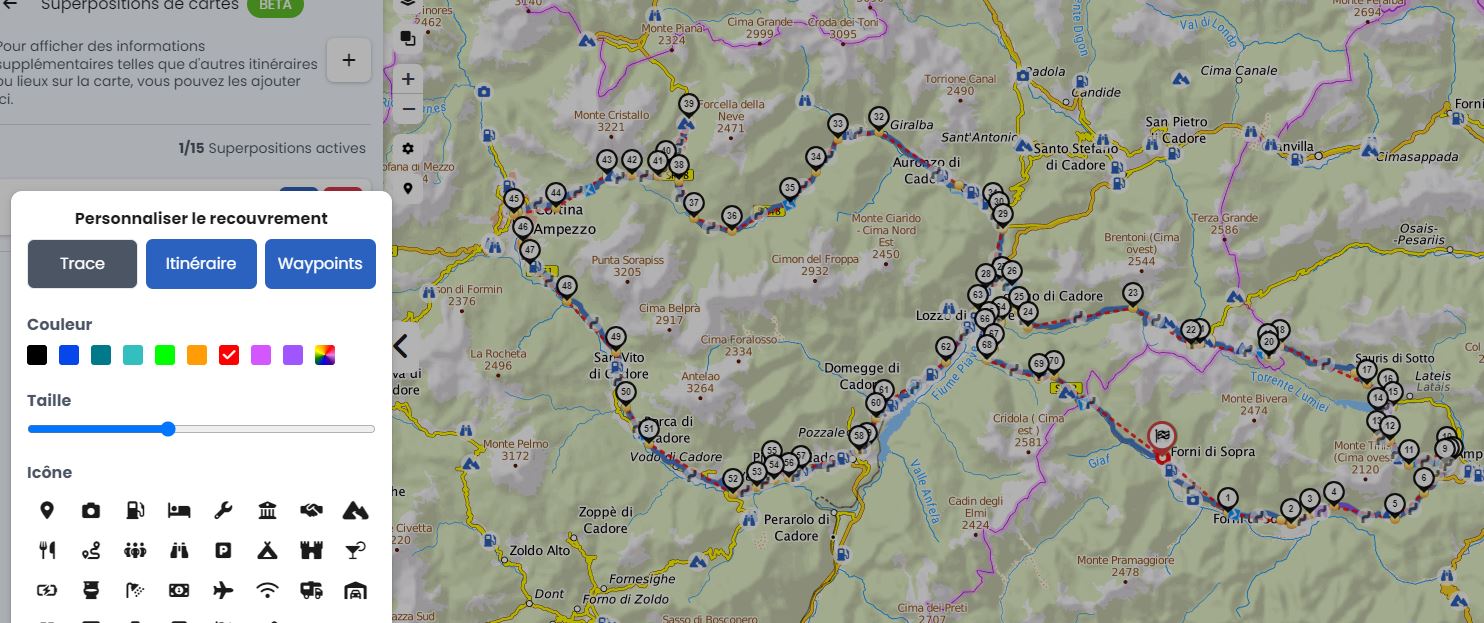
A post was split to a new topic: Overlay-Templates
Dear Sigi,
Thanks for creating the three file, it was very helpful. Best regard
Günter R. (ZeroRG)