Meanwhile the feature to display charging stations is implemented:
But you can also create a GPX with the OSM data to get an clickable overlay in the app:
-
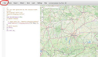
go to this overpass turbo search
-
zoom the map to your desired area (do not set it too large, might cause an timeout)
-
press “RUN”
-
press “Export” and select “download as GPX” (click on “download”!)
-
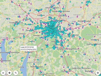
load downloaded “export.gpx” as overlay in Kurviger app
-
via long tap on icons you can add charging stations as waypoint:

